Roanoke Island is protected from the Atlantic by a long thin strip of barrier Islands called the Outer Banks OBX. To arrive in Manteo, we needed to drive the Croatan Highway from Kitty Hawk, through Kill Devil Hills and Nags Head. The buildings here are often built raised up on stilts for protection against flooding. Historically these sandbank islands were often breached by the ocean after big seas from storms and hurricanes. Now that there are roads and bridges it is most inconvenient when nature chooses to have her own way! Even Manteo on Roanoke Island, sheltered in the relative briney water of Pamlico Sound, it’s often flooded and houses that were originally built from the ground up by now routinely raised, in their entirety, onto stilts. This is clearly a very expensive process but there is government funding to help raise buildings that have already been flooded and are at risk again.
The fishing industry is big here based in Wanchese, the town at the southern end of Roanoke Island, where we luncheoned on clam chowder! Both of the towns were named after the Island’s two Native American leaders who, in 1584, were brought back to England and presented to Queen Elizabeth, helping with the job of deciphering and learning the Carolina Algonquian language.
The beach at OBX is 200 miles long! Like Saunton or Westward Ho! it is backed by dunes. It is known as the graveyard of the Atlantic, the same phrase given to North Devon‘s Coast; but this sea is treacherous because of its sand banks. You would have to travel 50 miles inland to find rock or stone because the interior is forested swamp. This makes beach combing an interesting hobby, where whole conch shells and fulgurite can be found on the yellow sand.
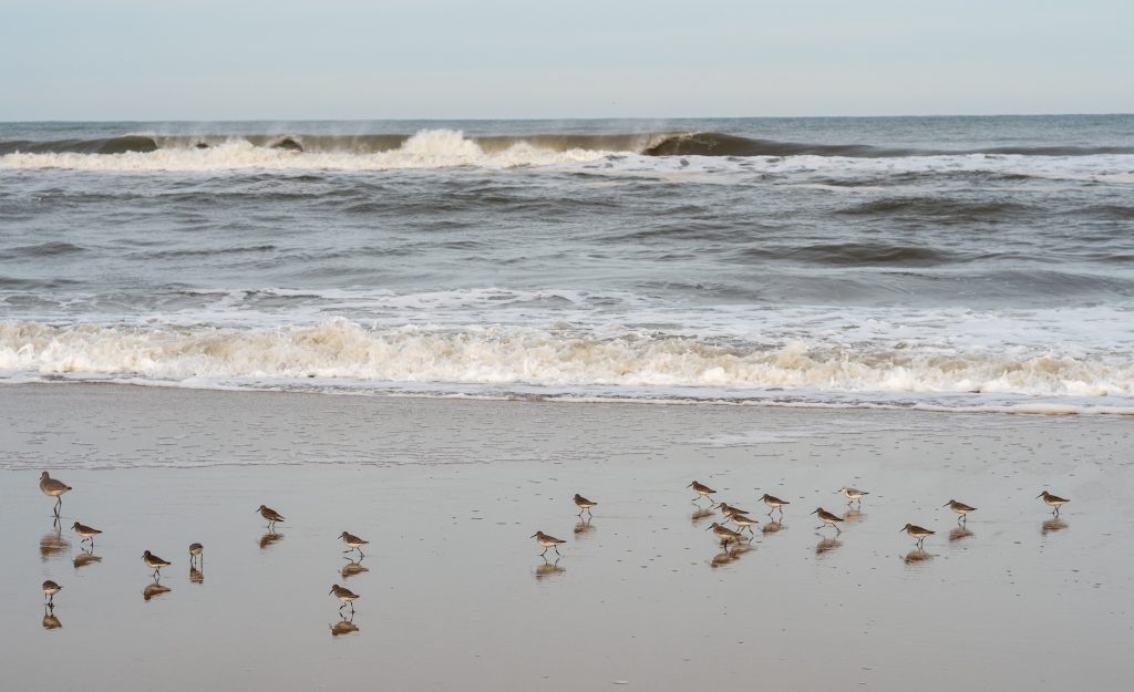
The shore was full of seagulls and waders, and we often saw pelicans and cormorants flying over the sea. Another similarity to North Devon is its sanderlings, which race along the sea’s edge, the dynamic few feet where the surf is continually advancing and retreating.
